REGISTER TODAY AT: https://ultrasignup.com/register.aspx?did=99272
Overview
Each winter, InyoSAR has worked with Sage to Summit to present the Winter Race Series with all proceeds benefiting InyoSAR. This year, InyoSAR is expanding their race fundraiser with the Range of Light Trail Races, while also continuing to work with Sage to Summit to support their long-standing Winter Race Series. This year, Sage to Summit’s winter race series will get the opportunity to raise money and support other local non-profits as well. The first race in January will support Wild Iris, the second race in February will support The Eastside Student Center, and the 3rd race in March will run in partnership with the 5k race of the Range of Light Trail Race to support InyoSAR.
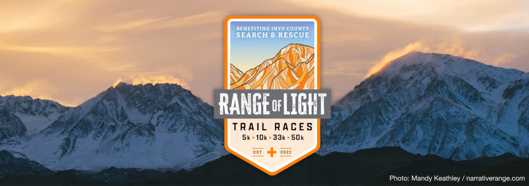
The Range of Light Trail Races will take place on Saturday March 18 & Sunday March 19, 2023 as a fundraiser for search and rescue efforts across Inyo County.
On Saturday, there will be the Winter Race Series 5k community run, as well as 3 new race distances; 10k, 30k, and 50k. For the lovers of steep country, there’ll be a Tungsten Peak hill climb on Sunday.
These races showcase some of the best trail and dirt road running the Eastern Sierra has to offer, at a time of year when the High Sierra are still buried in feet of snow, but hints of spring are starting to appear on the valley floor and surrounding foothills.
With four distances from which to choose, plus a challenging hill climb loop, these races offer a bit of something for any runner and are a perfect start for those looking to races later in the spring, or for folks who just want to turn out and show their support for our fantastic Search and Rescue Team!
The races are directed by experienced ultra runner and race director Todd Vogel. Aid stations are staffed by runners who get it – we are here to help you succeed!
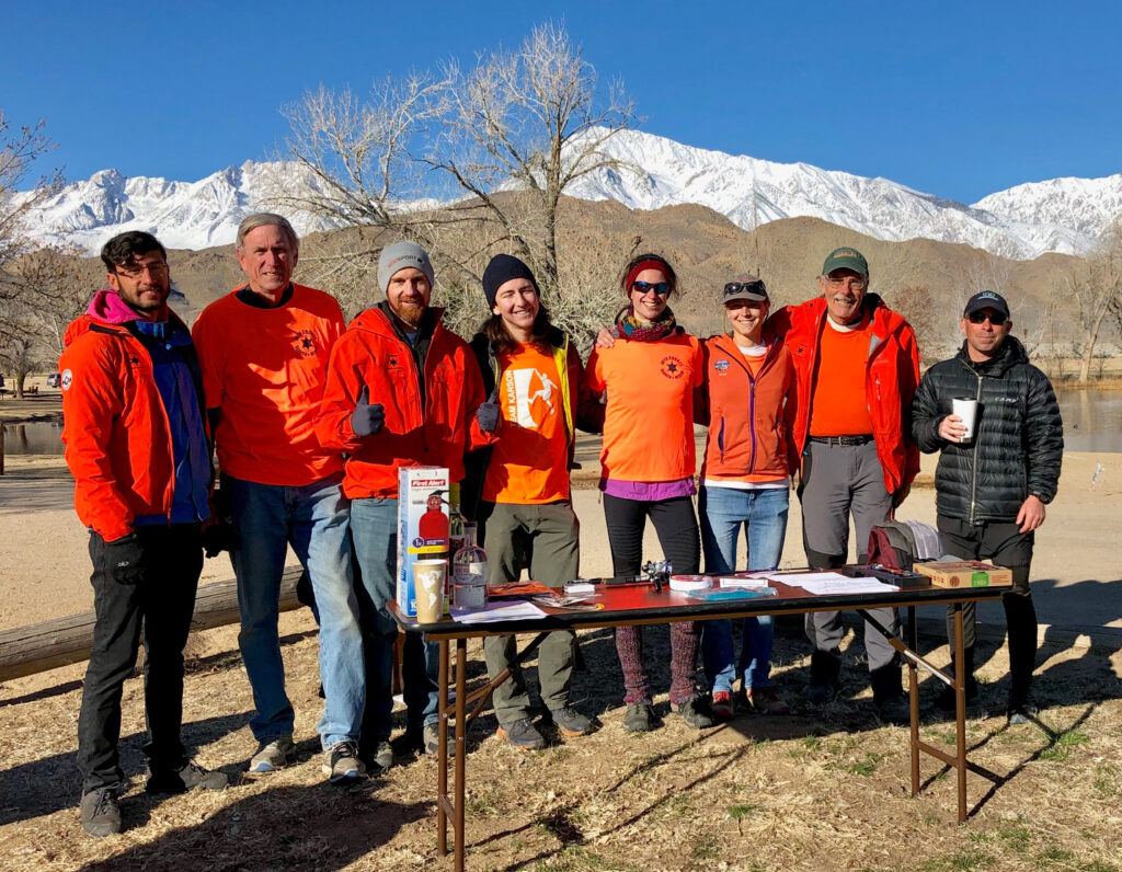
With an operating area that spans the lowest point in the Country – Badwater, 280’ below sea level – to the highest point in the lower 48 States, Mount Whitney, 14,495’, Inyo County Search and Rescue is busy around the year and operates in environments spanning the hot desert to the icy summits of the High Sierra. As a dedicated and highly trained volunteer team we need and appreciate your support.
Same day registration will be available for the 5k, 10k, and hill climb, but not for the 33k and 50k distances. No t-shirt for same day registrations.
The Courses
The 5k: The classic – started nearly 15 years ago by Karen Schwartz, of Sage to Summit, and directed and operated by Inyo SAR for the past ten years, the 5k course will continue to be a part of the “Winter Race Series”. This is a fun loop out of Millpond and is family and pet friendly.
The 10k: you asked and we responded by creating a 10k loop that adventures further afield than the 5k, flirting with the Tungsten Hills just enough to make you wish you’d done a bit more hill training… It’s a fun loop, with one aid station about four miles into the course. We did mention there’s a hill, right?
The 33k and 50k: A great training run or race in its own right, either distance will satisfy those runners looking for a spring challenge, especially if your sights are on the Bishop Ultras, or one of the other great area late spring races. Both routes leave Millpond, heading on fast dirt roads, towards the NE side of the Tungsten Hills. A nice warm up is just the thing you’ll be wanting, because at mile 3 both courses head steeply uphill on a fun (read ‘steep’) single track, climbing steadily towards the crest of the Tungstens. 1,500’ of climbing and a mile or two later a fast down hill leads to the second aid station at the base of the downhill switchbacks on the north side of the Tungstens, and mile 8. A long but not too steep uphill commences as the routes gain another 1,500’ or so, rounding the top of the Tungstens, with spectacular views towards Mt. Humphreys, Mt. Tom, and many other prominent peaks of the High Sierra. A steady and fast downhill leads to the third aid station at mile 12. Shortly after this another great single track section begins, ending not far from the Blue Mine Aid Station at mile 16. At this point the two distances diverge, the 33k heads back to Millpond, but not before detouring up and over the famous Tungsten Peak, where you will have to pick up a poker chip to show us you’ve been there when you get to the finish line a few miles distant.
Meanwhile, the 50k is just getting you warmed up. Continuing on after a steep, short downhill it’s back onto the single track, and a continuing tour of some of the great running and views in the Tungsten Hills. Mile 20.4 brings you to the Buttermilk Aid Station, also a stop on the famous Bishop Ultras course. A long, fast, and sometimes rocky downhill brings you back down to the base of the Tungstens, and tantalizingly close to Millpond, but you’re not done yet! Take that left, back up the nicely graded Tungsten City Road, to the Tungsten City Aid Station, at mile 24.6. It’s not far back to Blue Mine Aid Station, but it’s another 1,000’ gain, and your last stop before heading up and over Tungsten Peak (poker chip!), and back to where you started your day, 31 miles later.
Aid Stations
Aid stations will be outfitted with all the usual plus plenty of fruit, salty-crunchy snacks, and in the case of Buttermilk and Blue Mine, heartier fare such as pancakes and quesadillas. We intend to carry on the tradition of the Bishop Ultras, and offer fine race food beyond just the candy and gels seen at other races.
The finish line will be completely outfitted with an end of race meal. Whether we cook it or it’s provided by a food truck is still to be worked out.
5k: no aid stations
10k: 1 aid station, at mile 2.2
33k: 5 aid stations, miles 3, 8, 12, 16, 18 (distances rounded)
50k: 8 aid stations, 3, 8, 12, 16, 20.4, 24.6, 26.4, and 28.6
Hill climb loop: Blue Mine lite aid station only, mile
Cutoffs
All distances other than the hill climb loop must be finished by 6:00pm on March 18th. Hill Climb Loop race must be completed by 2pm Sunday.
Cancellation Policy
Full disclosure: we are still working on the permits for these races. We have been told by all the affected agencies that they don’t see a problem, so it’s in process. If we have to cancel in the very unlikely event the permits don’t work out you will receive a full refund, less your ultrasignup.com fees. Cancellation for any other reason: If you withdraw from the race with more than two months (60 days) from race day you will receive a 75% refund. If you withdraw from the races for any reason with less than two months notice you will not receive a refund or rollover credit, you will forfeit your money (but it goes to a good cause). You may change your distance up to a week prior to the race. E mail the RD to do so. Moving up in distance will cost the difference in price as shown at the website at that time. There will not be a refund if you drop down in distance. No dropping down of distances is allowed less than one week prior to the races. You may not change distances during the race; doing so will be considered a DNF. If we have to cancel due to storm, pandemic, wildfire, or any other natural disaster there will not be a refund.
Start/finish location
The race start and finish area is located at Millpond County Recreation area, well signed off of highway 395 from both north and south directions, roughly a ten minute drive from central Bishop.
Getting to and Staying in Bishop
Getting To Bishop
Bishop is the the heart of the Eastern Sierra – the Sierra Nevada rise to nearly 14,000′ in height to the west while the White Mountains to the east are just over that height. The famed Owens Valley is gateway to Yosemite National Park, Death Valley National Park, and is a wonderland for visitors from all over the world.
Driving
Bishop is a five hour drive from Los Angeles or Las Vegas, and about three and a half hours from Reno, Nevada. The drive from the Bay Area can be as short as five or six hours and significantly longer if Tioga and Sonora Passes are still shut, which they are usually at this time of year.
If driving Google will get you here just fine but there are sometimes subtle options. For instance, if coming from Las Vegas you have the option to drive through or avoid Death Valley National Park. Avoiding is faster by half an hour but driving through is the much more interesting option (and you could stop and do some quick heat training!). Coming from Reno an interesting and only slightly longer option is to take the Smith Valley option, which has much less traffic (and fewer deer) and is only four miles longer. Any drive to Bishop is a spectacular undertaking due to the grand scenery. We suggest you take your time getting here!
Flying
If flying and renting a car compare prices from Reno (shortest drive), Las Vegas (usually cheapest) and Los Angeles area (most traffic) airports. Flying into Bishop is an option with flights at this time of year from San Francisco and Denver. This changes often, so check out your options with flights online.
Without a car
It can be done – The easiest way is to fly into Reno and take the Eastern Sierra Transit bus (ESTA). Check the schedule carefully – it does not operate every day of the week. Typically, the bus leaves Reno around noon and gets to Bishop 4.5 hours later. Once in Bishop you’ll have to connect up with another racer for local transport. Use the forum on the race’s Ultrasignup page. We’ll be happy to start a list of car poolers, too.
Staying in Bishop
Camping
There are many camping options including staying in the Millpond Campground, which is a short crawl from the race start and finish. They have a finite amount of space, though, so reservations should be made early. 760-873-5342 or http://www.brownscampgrounds.com/millpond.html. They have showers and the usual amenities. We are told that reservations open on March 1. **will they be open by March 17?***
The closest public campgrounds include the nearby BLM “Pit”, which charges a modest fee, and is across the highway from the race start. Higher elevation campgrounds include Bitter Brush and Four Jeffrey, both up Bishop Creek. See Recreation.gov to look into those. As of this writing Bitter Brush is first come, first served (no reservations). It’s 10 minutes from race start and about 6,500′ elevation. Four Jeff is about 8,000′ elevation, is big, and takes reservations, but likely not open by race day.
Low-key vehicle camping is allowed in the race parking area, but not encouraged, same for nearby public lands
Motels
Bishop has a huge array of motel options. On the high end, and quite comfy, is the Bishop Creekside Inn. Mid range motels are abundant in town and they seldom fill up except for busy holiday weekends. At the time of this writing no motels have offered special rates for our runners but we’re working on it.
Rules
The cutoff is 6pm for all distances.
Your assigned bib must be worn and visible on the front of your body. We don’t care if it’s on your shorts, shirt, or hat, but the aid station people need to be able to see it.
There are intermediate cutoffs at certain aid stations. These will be enforced.
You must follow the course markings. No short-cuts or cutting the course. If you go off course, you must return to the location where you went off course and resume from there in order to receive an official finish.
Dogs: we are dog lovers, but this is not a good event to bring a dog to. Dogs on leash are welcome at the start/finish area, but we advise no dogs on the course other than the 5k and 10k, which have doggie water.
Poles are allowed. Your call.
The aid station captain has the authority to pull you from the race should this be warranted for your health.
Out of respect for your fellow runners, amplified sound (playing music out-loud from your phone, for example) is not allowed on the course.
Absolutely no littering.
In the words of Candice Alicia: “If you get lost, hurt, or die on the course it’s your own damn fault!”.
Drop Bags: No drop bags at this event.
Pacers and Crew: No crew or pacers
Start Times
50k: 6:00am
33K: 7:00am
10k: 8:00am
5k: 9:00am
Hill Climb: 8:00am on Sunday March 19th
Maps and Profiles
To use the Caltopo map links you will need a Caltopo account. An account is free. If you don’t want an account view the pdf maps instead.
5k: 5k map at Caltopo 5k PDF
10k: 10k map at Caltopo 10k PDF
33k: 33k map at Caltopo 33k PDF
50k: 50k map at Caltopo 50k PDF
Hill climb: hill climb map
Can’t Race? You Can Still Donate!
Click here to donate to InyoSAR if you cannot join in on the race this year but would still like to support us!
Businesses: You can mail your donation to Inyo SAR, PO Box 982, Bishop or call (818)-422-3766 for merchandise pickup or questions.
Please follow all state and local Public Health orders while participating in this race.
Have fun, be safe, and thanks for supporting Inyo County Search and Rescue!